

Digital Civic Engagement
Open Data Portal
Creating an integrated public data platform that consolidates diverse datasets from national and local sources, enabling local government, councils, and citizens to access accurate and actionable community information for Knaresborough, North Yorkshire, England.
Use Case
Unified Data Ecosystem
Creating a Single Source of Truth for Local Data
In partnership with Colligo Labs, we implemented an ArcGIS Hub portal designed specifically for Knaresborough Connectors. The portal organises previously fragmented data into one clear, accessible platform, improving how data is shared between the council and citizens.The Challenge
The town council required a centralised, accurate data repository to support internal decision-making and enhance transparency with residents. Previously, scattered datasets limited effective planning and citizen engagement.
Our Methodology
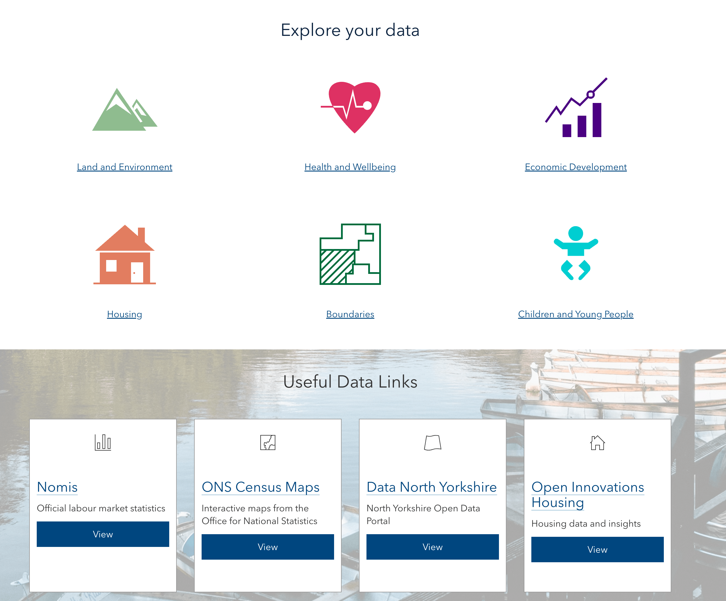
We developed an ArcGIS Hub site that consolidates data from authoritative and community-driven sources such as the Office for National Statistics, Ordnance Survey, ESRI’s Living Atlas, and OpenStreetMap, creating a comprehensive, searchable database.
Comprehensive Coverage
The portal includes socio-economic statistics, health data, children's services information, crime figures, and administrative boundaries, offering a complete and up-to-date snapshot of community conditions and needs.
Citizen Engagement
A Survey123 integration allows residents and visitors to easily report incidents, request services, and contribute information directly, establishing an efficient, structured channel for public participation.
This Worked for Them — Could It Work for You?
Let’s talk through whether it makes sense for your team.